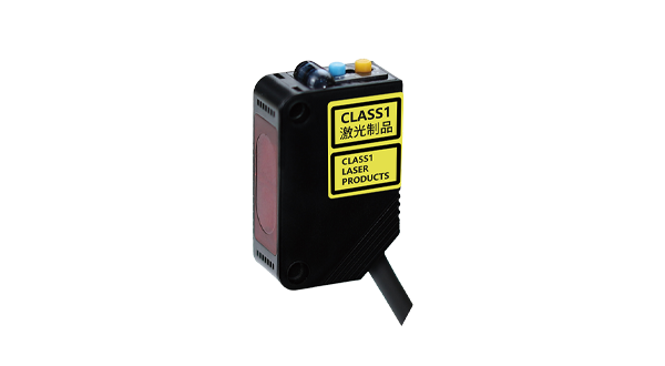


Lidar laser distance sensors represent a transformative technology in precision measurement and spatial awareness. Utilizing laser pulses to calculate distances with exceptional accuracy, these sensors have become integral across numerous industries. The fundamental principle involves emitting laser beams toward a target and measuring the time taken for the reflected light to return. This time-of-flight data is then processed to generate precise distance measurements, often with millimeter-level accuracy. Unlike traditional ultrasonic or infrared sensors, lidar systems offer superior resolution and reliability, even in challenging environmental conditions such as low light or variable weather.
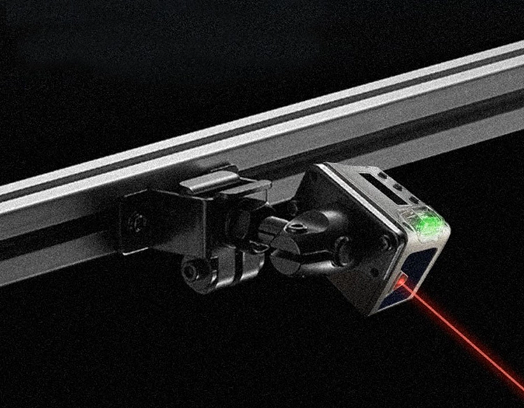
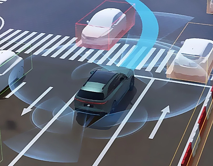
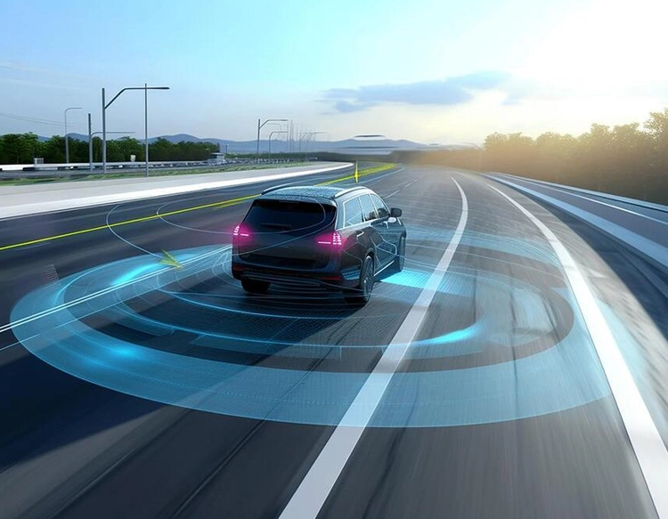
The core components of a typical lidar sensor include a laser emitter, a scanner, and a photodetector. Advanced models may incorporate rotating mirrors or solid-state designs to enhance scanning efficiency. One key advantage is the ability to create detailed 3D point clouds, which map environments with high fidelity. This capability has propelled lidar into applications like autonomous vehicles, where real-time obstacle detection and navigation are critical. For instance, self-driving cars rely on lidar arrays to perceive road geometries, pedestrians, and other vehicles, enabling split-second decision-making.
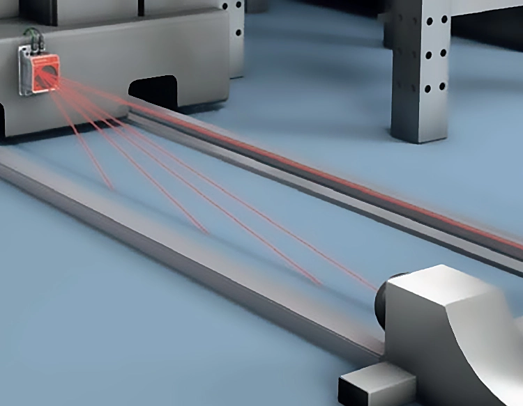
Beyond automotive uses, lidar laser distance sensors are revolutionizing fields such as robotics, agriculture, and construction. In industrial automation, robots equipped with lidar can navigate factory floors safely, avoiding collisions and optimizing workflows. Agricultural drones leverage lidar to monitor crop health, assess soil erosion, and manage irrigation systems by generating topographic maps. Construction professionals employ lidar for site surveying, building inspections, and volume calculations, reducing manual labor and improving project timelines.
Environmental monitoring also benefits from lidar technology. Scientists use airborne lidar systems to study forest canopies, track glacier movements, and assess coastal changes. The sensors' ability to penetrate vegetation makes them ideal for archaeological discoveries, uncovering hidden structures beneath dense foliage. Additionally, urban planners integrate lidar data into smart city initiatives, analyzing traffic patterns and infrastructure development.
Despite its advantages, lidar faces challenges like high costs and sensitivity to extreme weather. However, ongoing research aims to develop more affordable, compact sensors with enhanced durability. Innovations in solid-state lidar and machine learning integration promise to expand accessibility and functionality. For example, miniaturized sensors are now being embedded in smartphones for augmented reality applications, allowing users to interact with digital overlays in physical spaces.
In summary, lidar laser distance sensors are pivotal tools for accurate distance measurement and environmental mapping. Their versatility supports advancements in transportation, industry, and research, driving efficiency and safety. As technology evolves, these sensors will likely become more ubiquitous, powering next-generation innovations across sectors. Understanding their operation and applications is essential for professionals seeking to leverage cutting-edge solutions in a data-driven world.