


Lidar laser range sensors represent a pivotal technology in modern measurement and detection systems, utilizing laser pulses to calculate distances with exceptional precision. These sensors emit rapid laser beams toward a target and measure the time taken for the light to reflect back, enabling accurate distance calculations based on the speed of light. This principle, known as time-of-flight, allows lidar sensors to generate detailed three-dimensional maps of environments, making them indispensable across various industries.
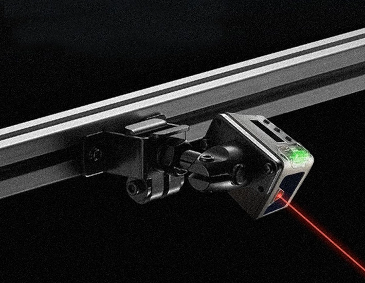
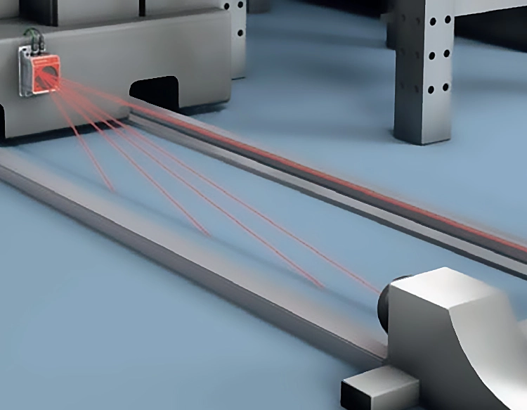
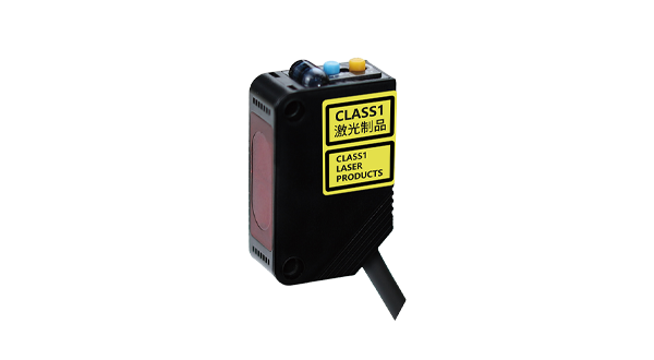
The core components of a lidar system include a laser source, a scanner, and a photodetector. The laser emits focused light pulses, typically in the near-infrared spectrum, which are directed by the scanner across a field of view. Upon hitting an object, the light reflects back to the photodetector, which converts the optical signal into electrical data. Advanced algorithms then process this data to determine distance, speed, and even the shape of objects. Modern lidar sensors often incorporate multiple beams or rotating mechanisms to cover wider areas, enhancing their efficiency in real-time applications.
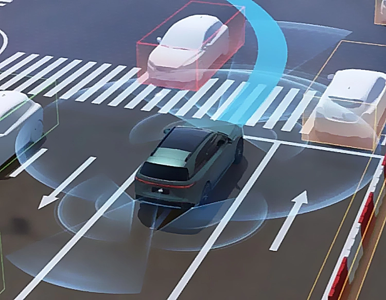
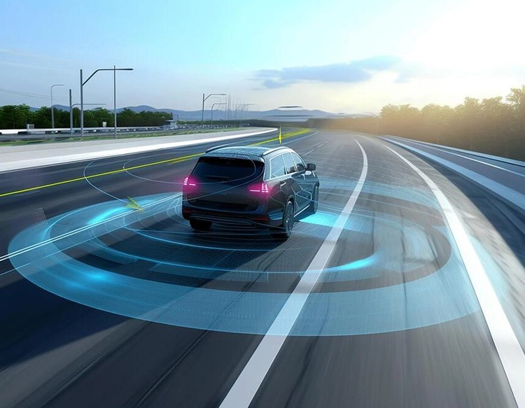
One of the primary advantages of lidar laser range sensors is their high accuracy and resolution. Unlike traditional radar or ultrasonic sensors, lidar can detect minute details, such as small obstacles or subtle terrain changes, with centimeter-level precision. This capability is crucial in autonomous vehicles, where lidar systems help navigate complex road conditions by creating real-time 3D models of surroundings. For instance, in self-driving cars, lidar sensors identify pedestrians, other vehicles, and road markings, ensuring safe and reliable operation even in low-visibility conditions like fog or darkness.
Beyond automotive applications, lidar technology plays a vital role in environmental monitoring and agriculture. In forestry, lidar sensors mounted on drones or aircraft map forest canopies to assess biomass and track deforestation. Farmers use lidar-equipped equipment to analyze soil topography and optimize irrigation, leading to increased crop yields and resource conservation. Additionally, lidar aids in climate research by measuring atmospheric particles and cloud formations, contributing to weather prediction models.
The construction and surveying industries also benefit significantly from lidar laser range sensors. Engineers employ lidar for building information modeling (BIM), capturing precise measurements of structures to plan renovations or new projects. In archaeology, lidar reveals hidden historical sites by penetrating dense vegetation, as seen in discoveries of ancient ruins in jungles. Moreover, urban planners utilize lidar data to design smarter cities, analyzing traffic patterns and infrastructure needs.
Despite its advantages, lidar technology faces challenges such as high costs and sensitivity to weather conditions like heavy rain or snow, which can scatter laser beams and reduce accuracy. However, ongoing research aims to develop more affordable and robust sensors, including solid-state lidar that eliminates moving parts for greater durability. As innovations progress, lidar is expected to become more accessible, expanding its use in consumer electronics and robotics.
In summary, lidar laser range sensors are transformative tools that enhance precision in distance measurement and spatial mapping. Their applications span from autonomous driving and environmental science to urban development, driving advancements in safety and efficiency. With continuous improvements in cost and performance, lidar is poised to revolutionize how we interact with and understand our world, making it a cornerstone of future technological ecosystems.