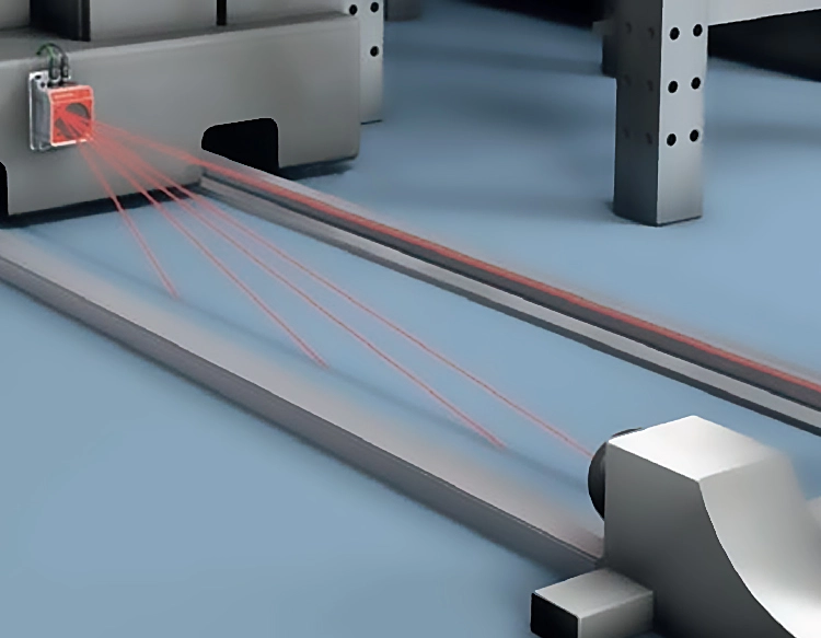


Long range LiDAR sensors have emerged as a transformative technology, enabling unprecedented precision in distance measurement and 3D environmental modeling. These advanced systems utilize pulsed laser light to detect objects and map terrains at distances exceeding 200 meters, with some high-performance models achieving ranges of over 500 meters. The core principle involves emitting rapid laser pulses and calculating the time it takes for the light to reflect off surfaces and return to the sensor. This data, processed through sophisticated algorithms, generates highly accurate point clouds that represent the surrounding environment in three dimensions.
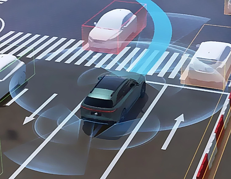
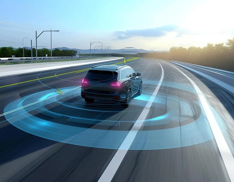
The automotive industry represents one of the primary drivers for long range LiDAR development. For autonomous vehicles (AVs), these sensors provide the critical perception needed for safe navigation at highway speeds. Unlike cameras or radar alone, long range LiDAR offers high-resolution depth information in various lighting conditions, allowing self-driving cars to identify distant obstacles, pedestrians, and road infrastructure with enough lead time to make complex driving decisions. Major AV developers and traditional automakers are integrating these sensors into their perception stacks to create redundant, reliable systems capable of handling diverse real-world scenarios.
Beyond autonomous driving, long range LiDAR technology is making significant impacts in topographic surveying, forestry management, and urban planning. Surveyors employ airborne and terrestrial LiDAR systems to create detailed digital elevation models (DEMs) of vast landscapes, monitoring erosion, mapping flood plains, and planning infrastructure projects with centimeter-level accuracy. In forestry, these sensors can estimate biomass, monitor canopy health, and assess wildfire risks from a distance. The ability to penetrate vegetation foliage to some extent also allows for ground surface modeling in densely forested areas, a capability crucial for archaeological discovery and environmental conservation efforts.
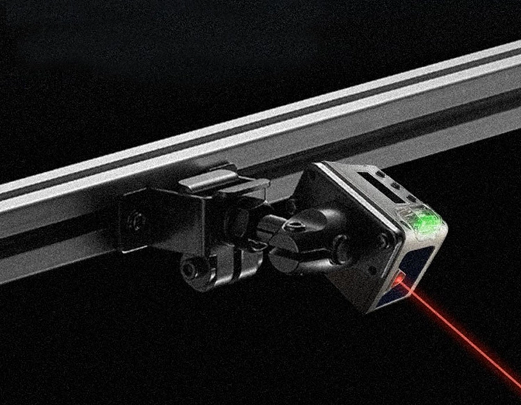
The evolution of long range LiDAR is closely tied to advancements in laser diode technology, photodetectors, and beam steering mechanisms. Modern sensors often employ 905nm or 1550nm laser wavelengths, with the latter offering better eye safety margins for higher power outputs, thus enabling longer ranges. Solid-state LiDAR designs, which have no moving mechanical parts, are gaining traction for their improved durability, smaller form factors, and potential for lower cost at scale. These systems use optical phased arrays or micro-electromechanical systems (MEMS) mirrors to steer the laser beam electronically, a key step toward making robust, long-range sensing feasible for mass-market applications.
However, challenges remain in the widespread adoption of long range LiDAR. Cost, while decreasing, is still a barrier for many applications. Performance can be affected by adverse weather conditions like heavy rain, fog, or snow, though sensor fusion with radar and cameras mitigates this limitation. Furthermore, developing standardized testing and performance metrics is an ongoing effort within the industry to ensure reliability and safety, particularly for automotive use cases.
Looking ahead, the trajectory for long range LiDAR points toward greater integration, intelligence, and affordability. Future sensors will likely incorporate more on-chip processing to perform object classification and tracking at the hardware level, reducing latency and data bandwidth requirements for the central computing unit. As manufacturing scales and innovations in components continue, these powerful sensors are poised to become a ubiquitous tool, not just for autonomous mobility, but for creating a dynamic, digitally-mapped world that enhances safety, efficiency, and our understanding of the physical environment.